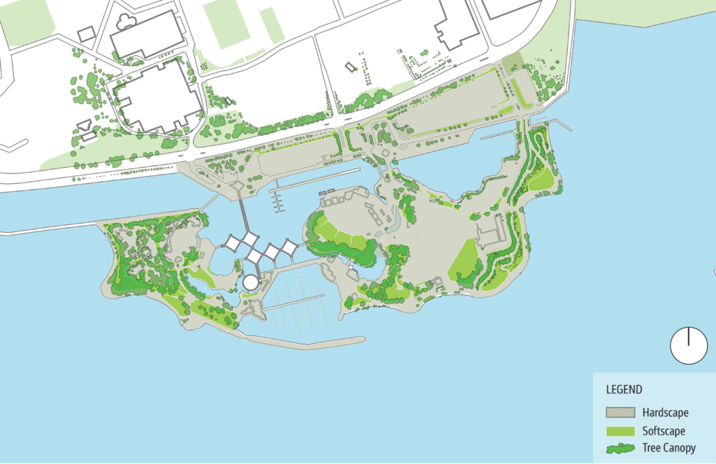
Natural environment: terrestrial
- The overall vegetation composition is largely non-native and ornamental but still provides habitat. There are some known invasive species.
- The site is an island of urban greenspace providing a unique habitat for terrestrial species because of its varied vegetation and proximity to the lake.
- The site provides habitat for mammals that are adapted to urban environments and shorelines (e.g. gray squirrels, raccoons and American mink).
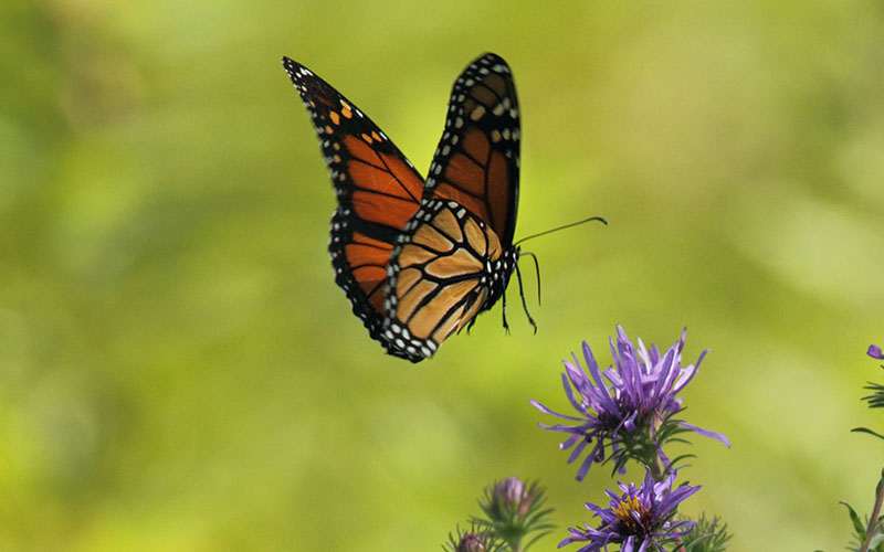
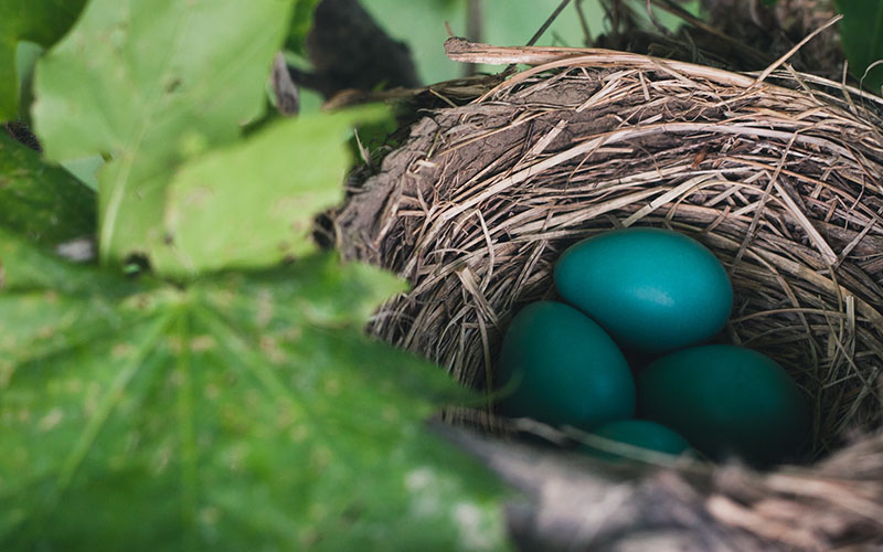
- Birds are attracted to the vegetation on site and the proximity to the lake for foraging and nesting, and to the buildings for nesting habitat. See Protected Species panel for more details.
- The site also supports a high abundance of insects.
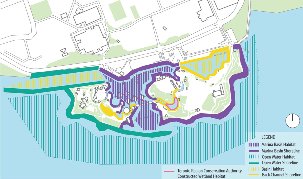
Natural environment: aquatic
- There are a variety of aquatic habitats on site including open water, and more sheltered areas such as the lagoons and channels.
- The site provides waterfowl staging areas for numerous species such as geese, ducks and swans.
- This near shore area of Lake Ontario supports a variety of warm and cool water fish species throughout their life stages. Examples include brook stickleback, largemouth bass and northern pike.
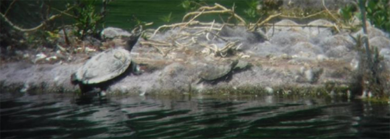
- The shoreline provides habitat for reptiles such as northern map turtle and snapping turtle.
- Through the redevelopment process, there are opportunities for enhancement of fish habitat around the site through habitat structure placement, shoreline enhancements and other approaches.
Natural environment: protected species
Endangered Species Act
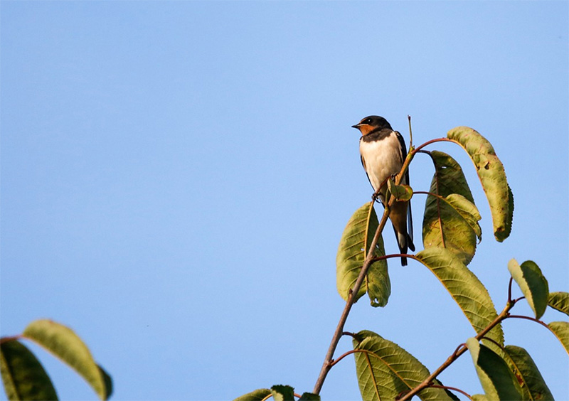
- Barn swallows (threatened) are protected under the Endangered Species Act and are found nesting on buildings on site.
- Chimney swifts (threatened) were identified foraging at the site, but the survey work identified no suitable roosting or nesting habitat.
- Along the site’s shoreline there is coarse rock, suitable for cover and refuge habitat for the American eel (endangered).
- No Species at Risk bats have been observed to date.
- No Species at Risk trees have been identified to date.
Migratory Birds Convention Act
- Ontario Place is a known migratory flyover area, provides nesting areas for Cliff Swallows and may offer suitable nesting habitat for other migratory bird species.
Natural environment: soil and groundwater conditions
- Ontario Place is a constructed island situated on Lake Ontario. The fill used to create the island was taken from other projects within Toronto. It is of poor quality with some potential low-level contamination.
- The site has a shallow groundwater table. Groundwater flows towards the shoreline of the island. It is protected under the Credit Valley – Toronto & Region – Central Lake Ontario (CTC) Source Protection Plan.
- Environmental investigations have been undertaken to better understand the subsurface conditions. They found that the fill generally consisted of approximately 10 to 25% construction debris content. No underground storage tanks or other metallic items, or remnants of previously demolished infrastructure were identified.
- The government will apply best practices to address any contamination on site and work with the Ministry of Environment, Conservation & Parks to meet statutory requirements consistent with the science and intent of the Record of Site Condition process.

Natural environment: floodplains
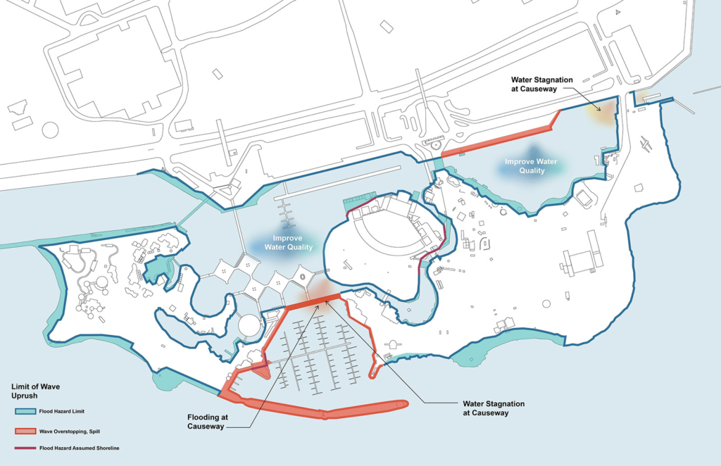
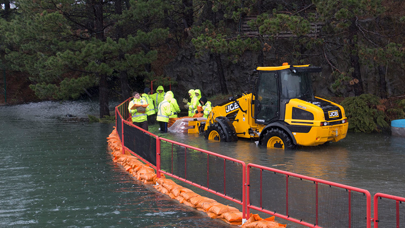
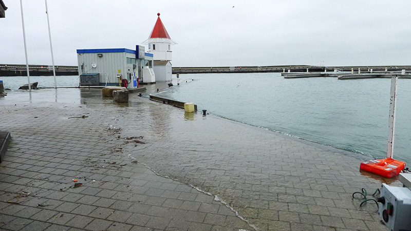
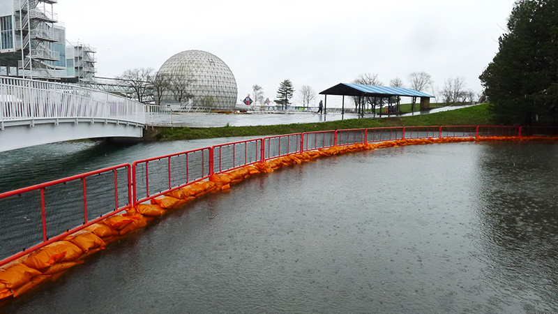
The below map shows the lands at Ontario Place that have been subject to recent flooding (wave overtopping and spilling). Shoreline repairs and flood mitigation are a major component of the site upgrades to be implemented that will help to prevent future flooding and water damage to the property.
Station 4 feedback
This section is now closed.