Land uses
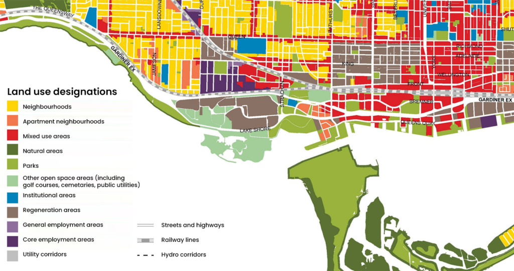
Although Ontario Place has historically operated as a commercial amusement park and currently hosts many different type of commercial and cultural activities, the site is designated as an Open Space Area in the Toronto Official Plan. The plan provided is taken from the City of Toronto Official Plan. It shows the land use designations within Ontario Place and also for the surrounding areas. Directly adjacent to Ontario Place are many parks, open spaces and areas subject to regeneration. Further afar, neighbourhoods and mixed-use areas are encountered.
Community context
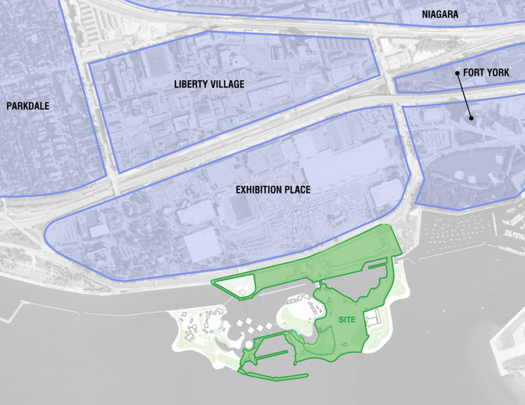
The plan provided shows the surrounding neighbourhoods of Ontario Place. It is situated in the southwest of Toronto, near Exhibition Place, Fort York, Liberty Village, Parkdale and Niagara communities. Over the last two decades, the waterfront has undergone substantial change with projects like Sugar Beach, the WaveDeck, and Queen’s Quay creating a world-class destination. This area is expected to receive 7 million visitors annually.
Site features: circulation
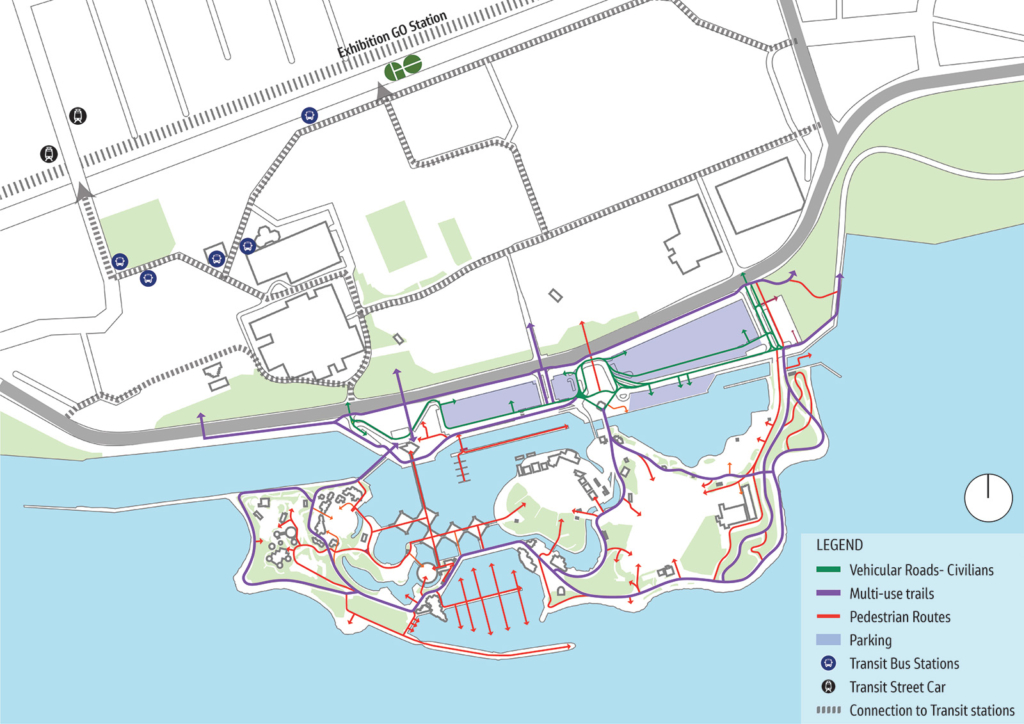
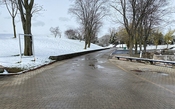
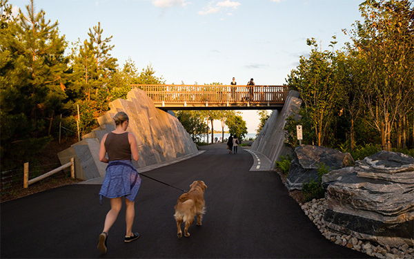
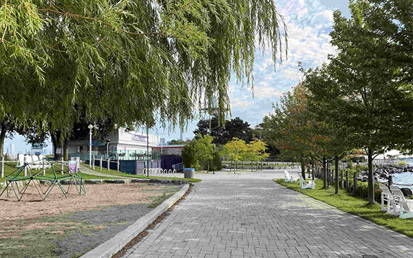
Ontario Place is situated in the southwest of Toronto, amid various land uses and neighbourhoods. There are many ways to access the site from within the city and beyond. The map shows how Ontario Place is connected to the rest of the City and the type and location on-site circulation at Ontario Place. Also included below are photographs showing examples of the pathways at Ontario Place.

Site features: past and current activities


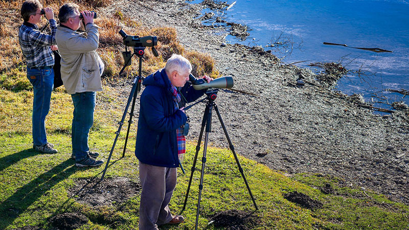
Ontario Place continues to be a unique location in the City of Toronto where people have access to a variety of indoor and outdoor activities including recreation, education and entertainment. The photographs show some of the many activities that people enjoy at Ontario Place


Station 5 feedback
This section is now closed.
