Socio-economic environment
Community Context
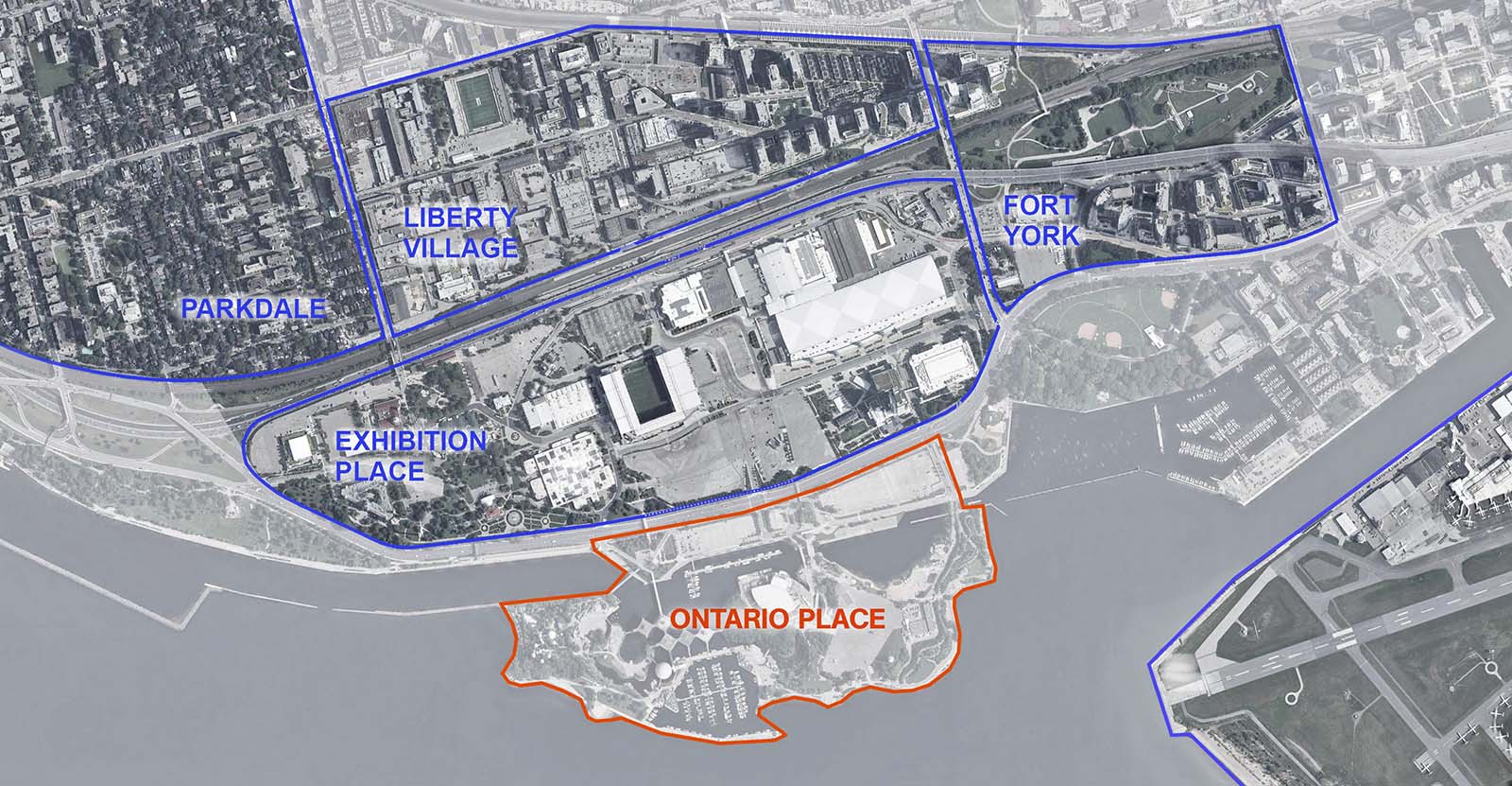
- The map below shows the neighbourhoods surrounding Ontario Place. It is situated in the southwest of Toronto in the Central Waterfront Area and near Exhibition Place, Fort York, Liberty Village, Parkdale and Niagara communities. Over the last two decades, the waterfront has undergone substantial change with projects like Sugar Beach, the WaveDecks, and Queen’s Quay.
- North of Ontario Place is the 192 acres of the Exhibition Place grounds that act as a barrier between Ontario Place and the more fine-grained fabric of the city to the north (including Parkdale and Liberty Village). Exhibition Place is a Toronto landmark serving as an entertainment, sports, tradeshow, and business destination. Attracting more than 5 million visitors a year, Exhibition Place is an unique destination in the City and the province.
- Located north of Exhibition Place is a large area comprising the Liberty Village neighbourhood. The area contains many older warehouse and industrial buildings, dating from the early 20th century, now housing many media and technology related companies. Significant growth and residential construction has occurred in the neighbourhood over the past decade.
- Fort York is an emerging neighbourhood located immediately east of Exhibition Place and is comprised of former industrial lands that included the Molson Brewery and St Marys Cement plant. In the past decade it has undergone significant redevelopment of primarily residential uses located along a new grid-oriented street system.
- North-west of Ontario Place is Parkdale, an older established neighbourhood, primarily composed of mid-rise apartment buildings, duplexes, and single-family homes. In addition to a node of mixed-use development, the neighbourhood has seen significant population growth in recent years.
Circulation
- Ontario Place is situated in the southwest of Toronto, at the gateway to the western waterfront There are many ways to access the site from within the city and beyond. Ontario Place sits at a prominent focal point on Toronto’s waterfront, connected to parks networks that reach through the city and adjacent to existing and planned transit.
- At a district level there are three key transit nodes that provide access to the Eastern, Central, and Western portions of the Toronto waterfront, as shown in the map below.
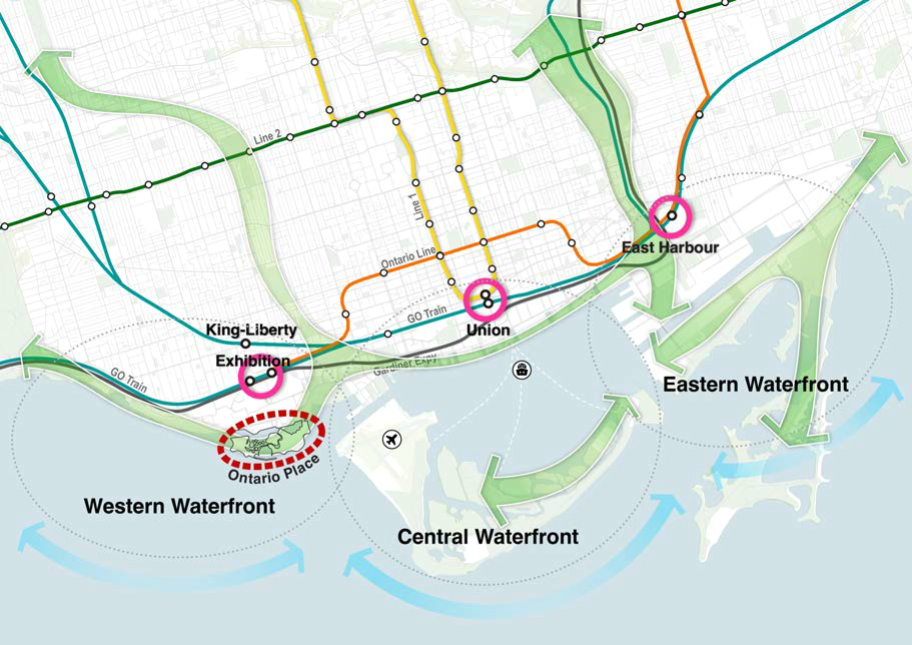
- Zooming in to the local context, there are connections to transit at Exhibition GO, through Exhibition Place, and to the park networks east and west.
- A key issue for the redevelopment of Ontario Place is improving transit to the site, including enhancing access through Exhibition Place to the GO/TTC hub and the planned Ontario Line terminus.
- Cyclists and pedestrians also present a key consideration to design for strong active transportation linkages across the mainland and onto the islands.
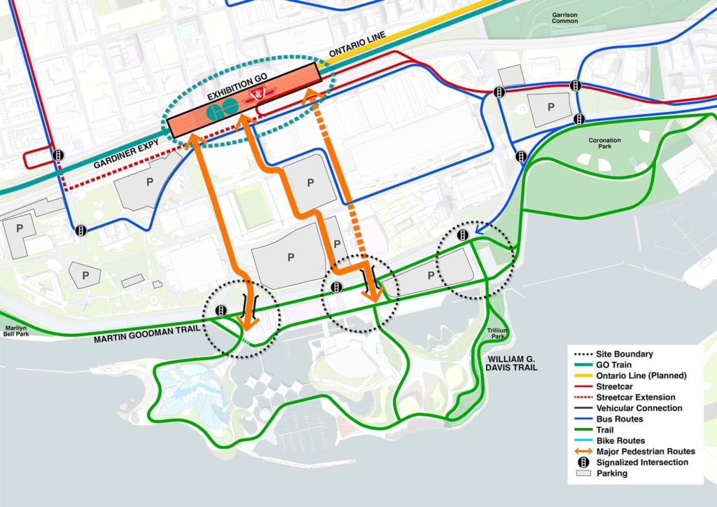

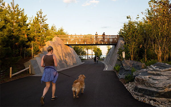
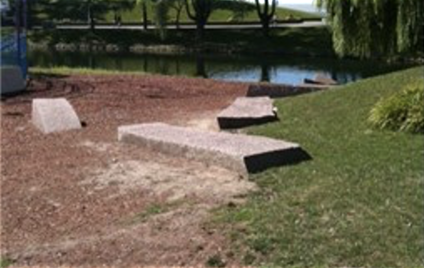
Public pathways throughout the west island, east island and Trillium Park.
Site activities
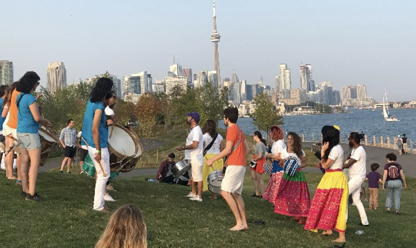
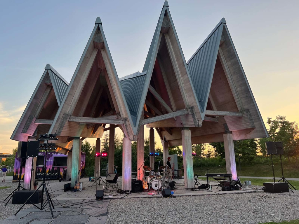
Cultural programming
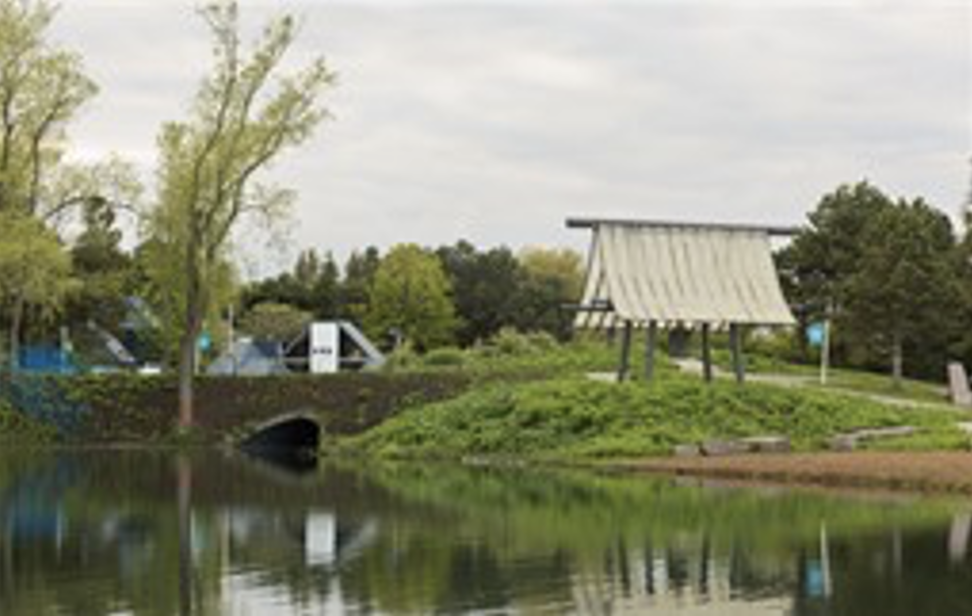
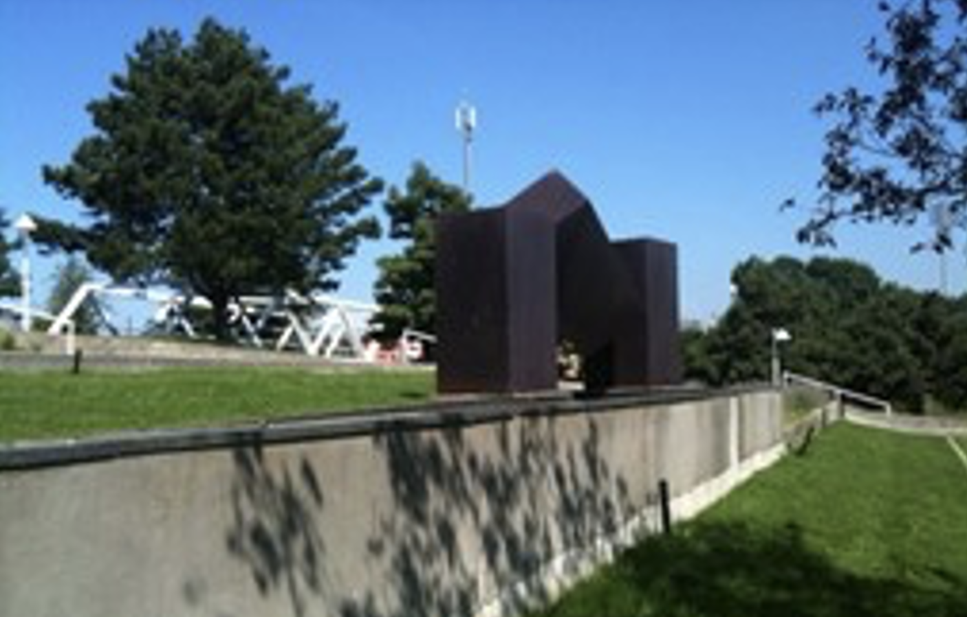
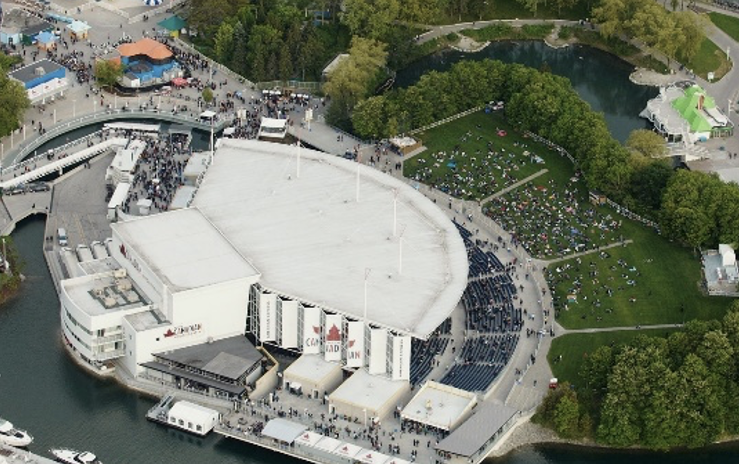
Ontario Place has a long history as a venue to promote and celebrate arts and culture. There are permanent art installations such as those from the Provincial Art Collection and the Coh Ohn Pavilion (Japanese Temple Bell), but also temporary or seasonal installations such as the seasonal light installation. Cultural events such as concerts, festivals, movies and theatrical events have also featured prominently at Ontario Place. A few examples are highlighted below.


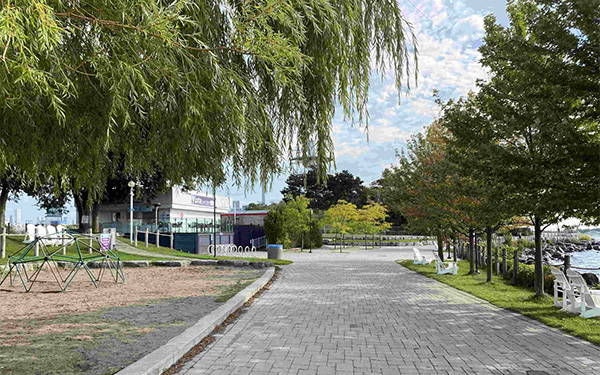
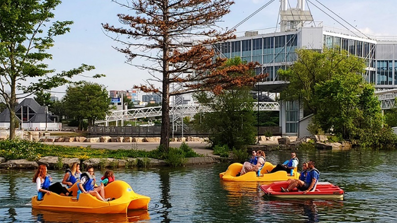
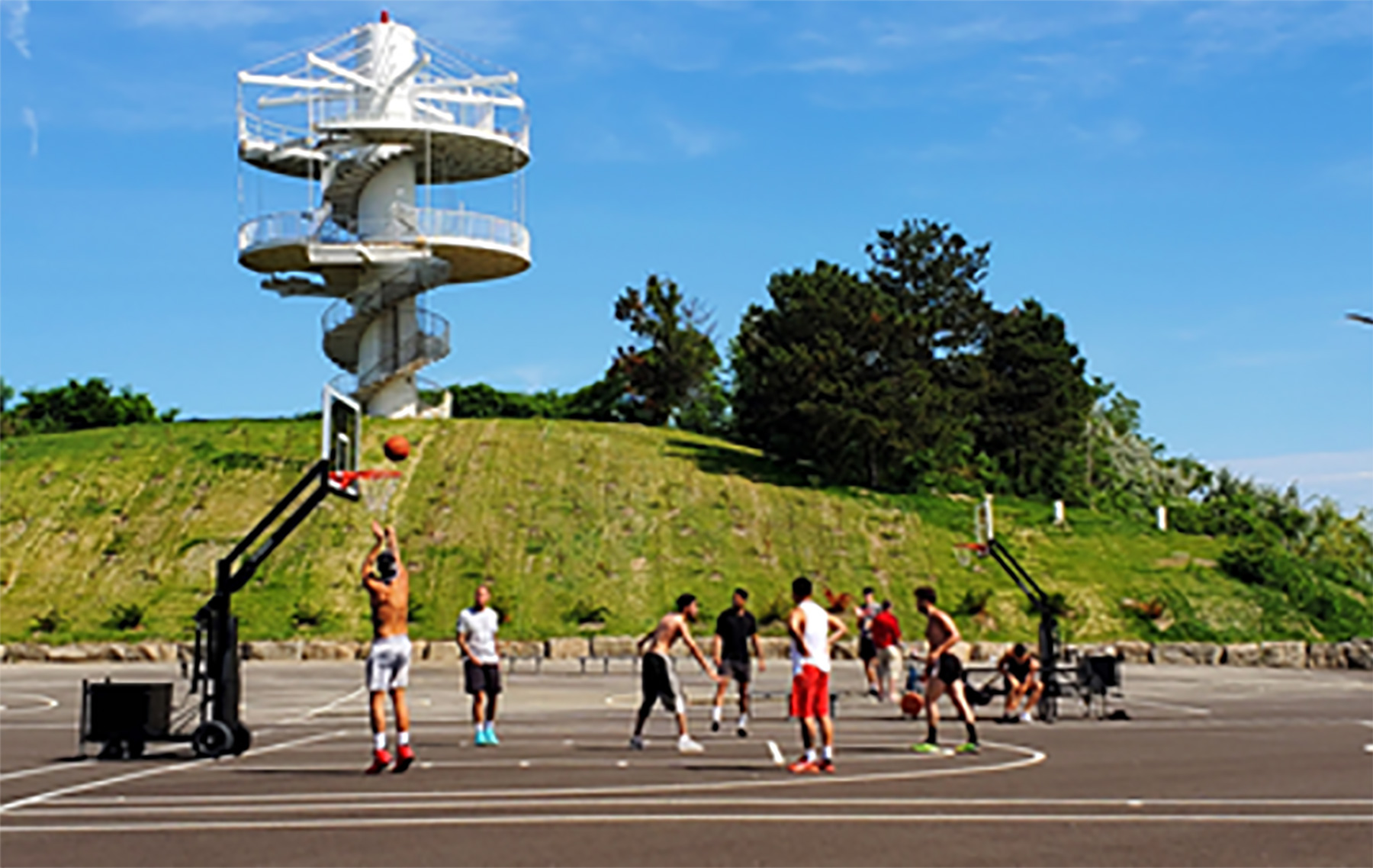
Recreational programming
Beyond cultural uses, Ontario Place continues to be a unique destination for recreation and relaxation – where visitors have access to a variety of indoor and outdoor activities. These images show some of the many activities that people enjoy at Ontario Place.


Natural environment
Natural environment: Terrestrial
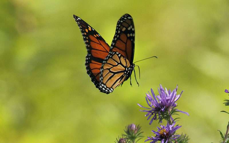
- The overall vegetation composition on-site is largely non-native and ornamental but still provides habitat.
- There are some known invasive species. The site is an island of urban greenspace providing a unique habitat for terrestrial species because of its varied vegetation and proximity to the lake.
- The site provides habitat for mammals that are adapted to urban environments and shorelines (e.g., gray squirrels, raccoons and American mink).
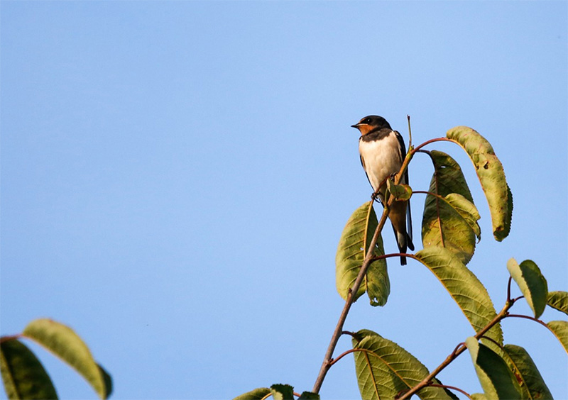
- Birds are attracted to the vegetation on site and the proximity to the lake for foraging and nesting, and to the buildings for nesting habitat. See Protected Species panel below for more details.
- The site also supports a high abundance of insects.

Natural environment: Aquatic
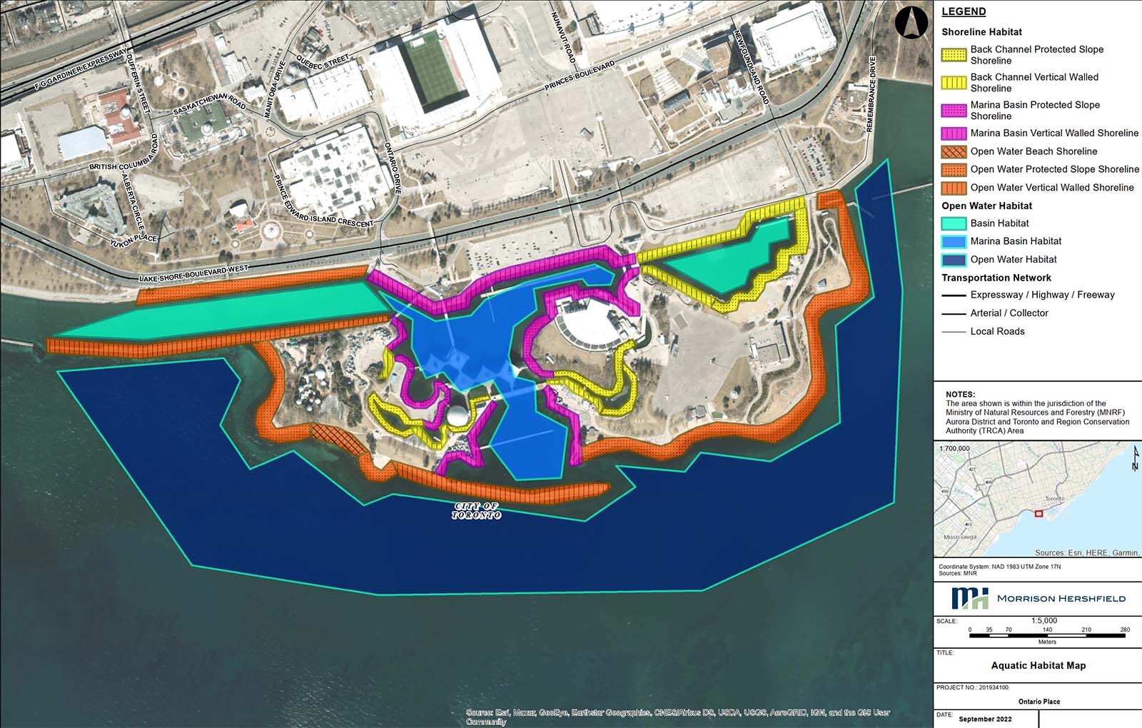
- There are a variety of aquatic habitats on site including open water, and more sheltered areas such as the lagoons and channels.
- The site provides waterfowl staging areas for numerous species such as geese, ducks and swans.
- This near shore area of Lake Ontario supports a variety of warm and cool water fish species throughout their life stages. Examples include brook stickleback, largemouth bass and northern pike.
- The shoreline provides habitat for reptiles such as the northern map turtle and snapping turtle.
- Through the redevelopment, there are opportunities to enhance fish habitat around the site through habitat structure placement, shoreline enhancements and other approaches.
Natural environment: Protected species
Endangered Species Act
- Barn swallows are threatened species and are protected under the Endangered Species Act. Barns swallows can be found nesting on buildings at Ontario Place.
- Chimney swifts are threatened species and were found foraging at the site. A Species at Risk Habitat Assessment identified no suitable roosting or nesting habitat.
- Along the site’s shoreline there is coarse rock, suitable for cover and refuge habitat for the American eel (Endangered).
- To date, no Species at Risk bats have been observed on site.
- To date, no Species at Risk trees have been identified on site.
Migratory Birds Convention Act
- Ontario Place is a known migratory flyover area, provides nesting areas for Cliff Swallows and may offer suitable nesting habitat for other migratory bird species.
Natural Environment: Soil and groundwater conditions
- Ontario Place is a constructed island situated on Lake Ontario. The fill used to create the island was taken from other projects within Toronto. It is of poor quality with some potential low-level contamination.
- The site has a shallow groundwater table and the groundwater flows towards the shoreline of the island. It is protected under the Credit Valley – Toronto & Region – Central Lake Ontario (CTC) Source Protection Plan.
- Environmental investigations have been undertaken to better understand the subsurface conditions. They found that the fill generally consisted of approximately 10 to 25% construction debris content. No underground storage tanks or other metallic items, or remnants of previously demolished infrastructure were identified.
- The government will apply best practices to address any contamination on site and work with the Ministry of Environment, Conservation and Parks to meet statutory requirements consistent with the science and intent of the Record of Site Condition process.
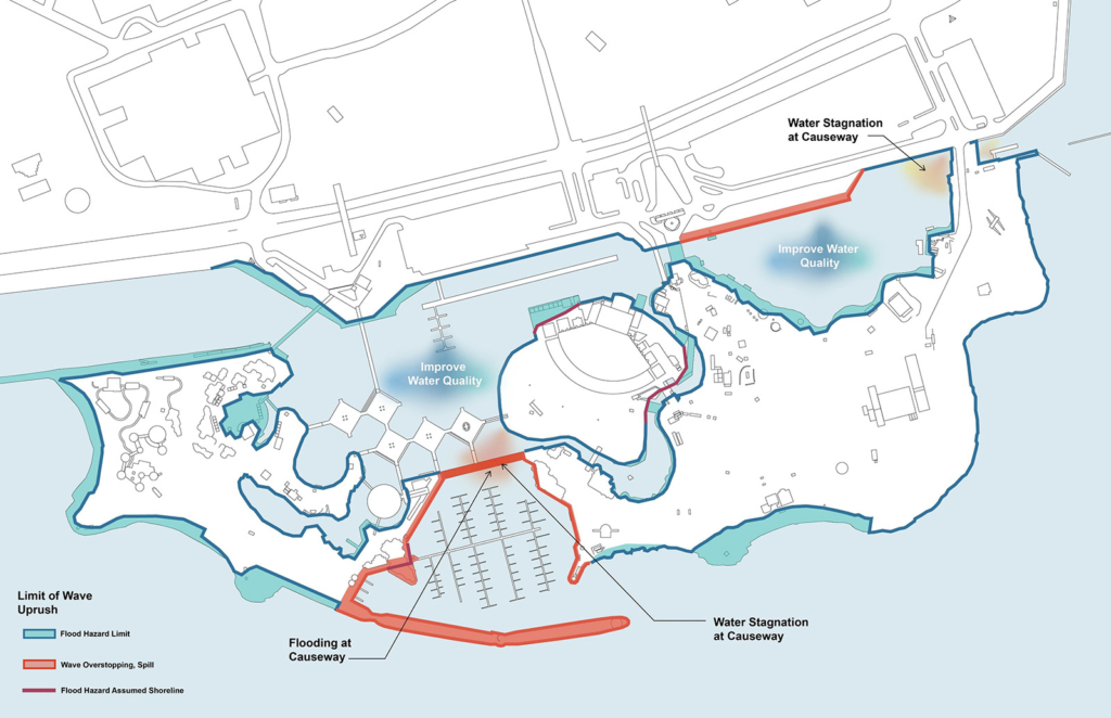
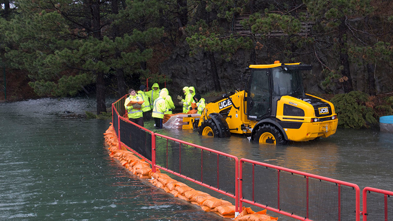
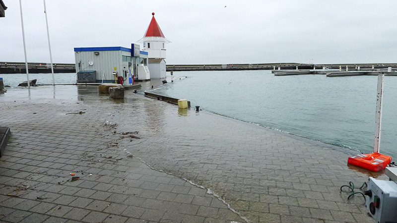
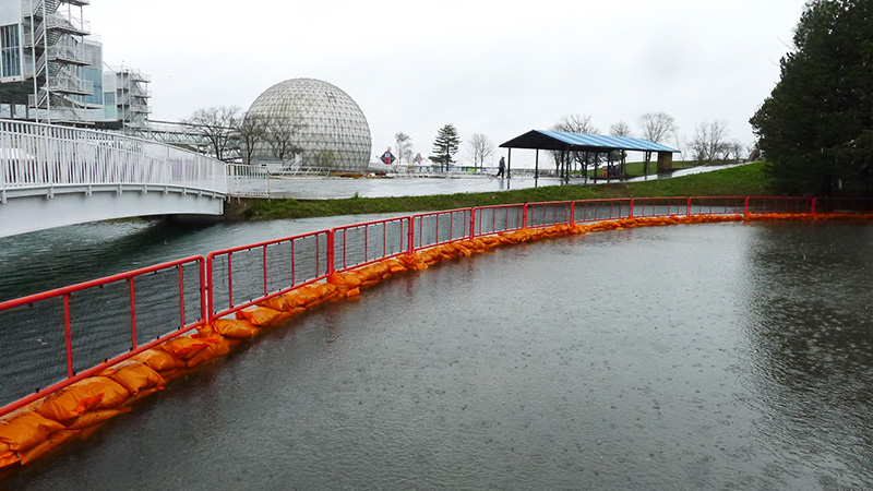
Natural Environment: Floodplains
The map below shows the lands at Ontario Place that have been subject to flooding. Shoreline repairs and flood mitigation are an important component of the public realm design and site preparation work. In many areas, significant modification of buildings, grades and landforms may be required to bring the site to modern environmental standards and to mitigate flooding.